Drop Down MenusCSS Drop Down MenuPure CSS Dropdown Menu

Monday, August 24, 2015

News & Updates


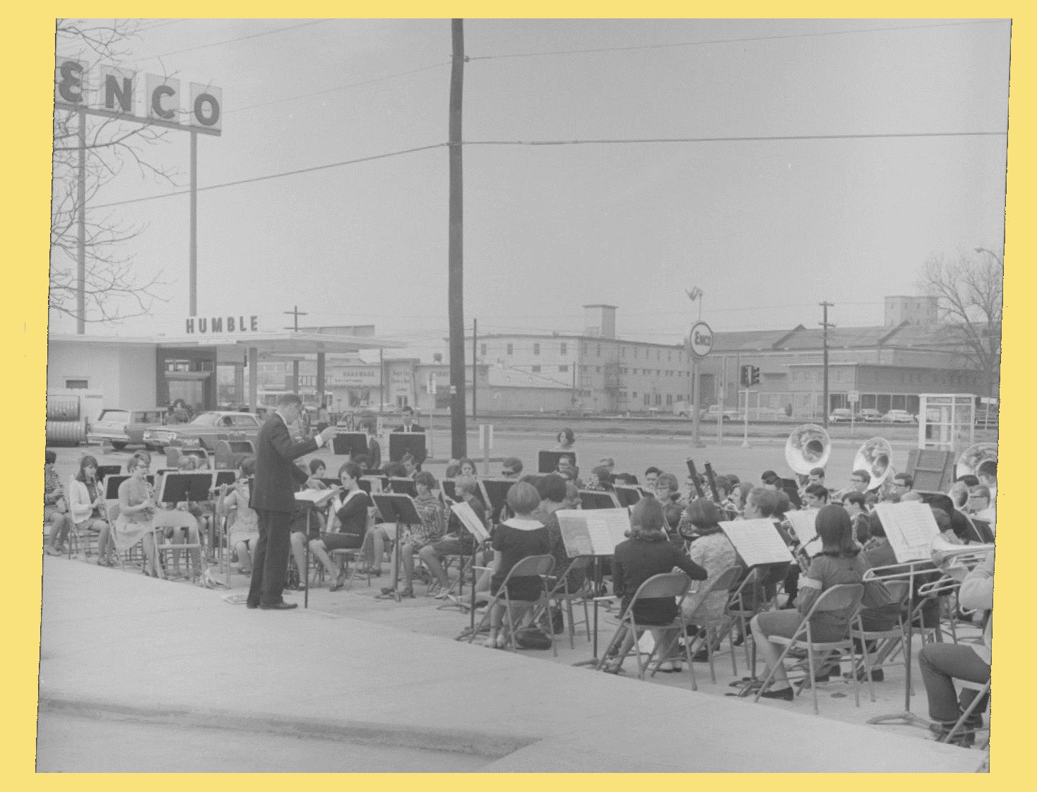
I've finally got the correct photo from the 1949 Sugar Land Gator yearbook showing Jane Broughton Schiller's 6th grade class.


I mentioned to Dulles alums that Rit Jons passed away in Kerrville last month.  Click here to view an obituary.  My best to Becky and their children and grandchildren.

Also, Scotty Hightower Bass (DHS '66) sent me this note about the 1916 Cleveland Hustlers baseball team on which her grandfather, L. V. Hightower, Sr. played.

We have really enjoyed this picture and article on my grandfather, Lockhart Valentine Sr. # 6 on the Hustler baseball team of Cleveland. Also in the picture are his brothers,  Sam Hightower and Cam Hightower. I am trying  to get more information on the game. It appears that this picture was taken a year or two before Daddy was born in 1917. What wonderful history to pass on to our children and grandchildren!!!  Daddy's father was a fabulous baseball player and I think he played on the Houston Buffalos  team before becoming Sheriff of Liberty and then County Clerk. When he passed away in 1946, a year before I was born, my grandmother Margaret Scott Hightower "Maggie" took over as County Clerk. My Uncle Ross Hightower played baseball for Baylor, but Dad and his brother Don were the football players from Texas A&I.

More Images of Old Sugar Land


Story Sloane posted the following photo (without restrictions) on Facebook recently, and I thought it gave a spectacular view down Oyster Creek.  I don't have a firm date, but my guess is roughly 1950.
 
(Story Sloane Collection)
 
I've magnified the Belknap area, which shows the sparse development of that section of town.
 
(Story Sloane Collection)
This magnification shows the area that's now Sugar Lakes and the Fluor complex.  Of course, the norther edge of what's become First Colony is in the deep background.
 
(Story Sloane Collection)
 
When I researched the stereoscopic photo I posted a few weeks ago, I examined the next two images.  I'm not sure if I've posted them before, but I thought I'd post them now with comparisons of what the locations look like today.  I think these are very early photos showing the Cunningham Refinery before Kempner and Eldridge took over the plant in 1908.
 
(Click here for modern view.)

(Click here for modern view.)

This last photo shows old Imperial Boulevard as it looked just a few years after the two photos shown above.  I've included a modern view.
 
(Click here for modern view.)

More People of Old Sugar Land


Congratulations to Dulles High's Class of '65, who celebrated their 50th anniversary last weekend.  I wonder if they remembered the words to the school song without cheat sheets?


Dulles Class of '65 at their 50th anniversary.

I want to thank JoAnn Cangelosi Hargrove (DHS '65) for scanning and sending me the following two photos of her parents.  In late November or early December of 1951, her parents set up a promotional display for their Stafford hardware store in the lobby of The Palms Theater.  As you can see from the sign, they gave away a new refrigerator as part of the promotion.
  
 Doris Durdin, County Extension Agent on the left with Carmaline Cangelosi in the lobby of The Palms Theater, 1951. (Photo courtesy of JoAnn Cangelosi Hargrove)
  
 Carmaline and Pete Cangelosi, Sr. in the lobby of The Palms Theater, 1951. (Photo Courtesy of JoAnn Cangelosi Hargrove)

I'm going to make a wild guess, but I think the last picture shows the east side of the lobby.  The refreshment stand is out of view on the right.  The hallway behind the Cangelosis leads to an entrance ramp into the auditorium.  On the left side of the hallway, just opposite the ramp, is the door to the men's restroom.  The women's powder room is on the left of the photo.

Thank you JoAnn! 

The next photo is undated, but it comes from the early 20th century.  It shows a Packing Department worker filling a barrel of sugar, when barrels were still a major mode of packaging.
 
 
The following photo shows the dedication service of Mt. Pleasant Baptist Church, Mayfield Park, in 1955.  Eunice Thomas is pinning a corsage on Mrs. W. H. Louviere, Sr.  Heywood Davis and Bertha Davis are on the left. W. H. Louviere, Sr. is seated to the right of his wife, but I can't identify anyone else.
  
  
The next photo shows the Dulles High School band, led by Director Jim Gary, at the opening of the Sugar Land Post Office on Brooks Street in the Spring of 1967.  I recognize lots of knuckleheads in this picture, including myself.


Traces of Texas posted the following photo on Facebook recently.  It's in the Sugar Land Heritage Foundation collection.  We have a second photo taken in the same 'shoot,' which you see below.


I'm not absolutely certain, but I think two of these young women are sisters Alice and Rhoma Phipps.  Alice married Bob Storm and Rhoma married William Aven.  I don't have any clues on the other two, or when and where the photo was taken.  I know Rhoma was born in 1898, so I'll guess 1914 to 1916.

Picking Cotton


I've had a recent email conversation with a couple of my college buddies about cotton.  One of them is from Crosbyton, Texas where his family ran a cotton farm.  I've learned quite a bit about raising and processing cotton.  In fact, there's too much to put in one post, so I'll chop the topic into 4 posts.

I'll start with picking because it often begins at this time of year.  Just a couple of photos showing field laborers at work will indicate the back-breaking nature of picking cotton by hand.

Undated photo of cotton field where Hall Lake is now located.

 Probably the same field during a harvest in the late 1950s.  (Note the laborers picking by hand.)
 
A magnification of the laborers.
 
Pickers dragged a large bag along the ground as they filled it with cotton.  Summer heat wasn't the only difficulty.  An adult (as you can see in the photo) had to bend over to reach the plants.  Eventually, tired backs forced pickers to work from a kneeling position.  They often wore knee pads to save wear and tear on overalls and sore knees.  

I guess children had an advantage in not having to bend over to reach the plants.  This photo shows students at a small school near Corsicana in 1913.  Each of them picked cotton before entering school that fall.  (Child labor was common in the cotton fields before mechanization.)
 
(Traces of Texas)

My friend up in the South Plains said picking cotton down here is different than it is up there.  Conditions up there meant hand-picking required pulling the burr from the plant.  (The burr is the dried shell from which the boll emerges.)  Down here the conditions (and maybe the hybrids we can grow) allowed pickers to pull the lint from the plant without taking the burr.  The lint still contained the seed, but it was far cleaner than cotton picked in north Texas.  This difference still applies to mechanical harvesting used today.

Of course, mechanized harvesting became common in the 1960s.  The next photo shows an early picker used in the same field south of old Sugar Land.  It looks like the machine is mounted on a tractor, although it's probably a permanent attachment.
 Rear view of an early mechanized cotton picker in field near Sugar Land.
  
  View of early mechanized cotton picker in field near Sugar Land.
 
Magnified view of early mechanized cotton picker in field near Sugar Land.
 
Technological advancements have continued to the present day. Click here to view a modern cotton picker.

Next time a short discussion of hauling cotton.

Highway 90A Completed in Sugar Land, 1927


I mentioned in the last batch of posts that this year marks the 100th anniversary of the Old Spanish Trail, known as Highway 90A here in Sugar Land.  Further research has turned up more information, but not as much as I'd hoped.  

I need to locate issues of the Texas Commercial News published in Sugar Land to get the local view of the highway program, but here is what I've learned from other resources.

A Houston Post article published in July 1919  said the exact route of the OST hadn't been determined, but it would likely follow the Southern Pacific rail line.  I read in another source that the railroad was critical to the project due to its right-of-way and its role in delivering men and materiel to construction sites.

In October 1919 the Old Spanish Trail Association received a charter from the State of Texas and had started local organizations in most of the counties in the states through which the highway would pass.  Since the State of Texas encompassed (by a wide margin) the largest segment of the 2,800-mile highway, and since San Antonio was the approximate mid-point, San Antonio was selected as the OST Association's headquarters.  Their offices were located in the Gunter Hotel.

Despite all this activity there was little real improvement completed in 1919 on the local roads that became the OST.

1921 newspaper article highlights road problems.
 
Naturally, the Texas Highway Department (THD) played a major role in this program.  THD was the precursor to today's TXDOT.  It was created in 1917 to take advantage of the 1916 Federal Road Aid Act, which granted funds to states that centralized control, construction, and maintenance of their roads.

 Road paving in Sugar Land, 1927.
 
Road paving near Sugar Creek Boulevard, 1927.

In 1925 THD relieved counties of road maintenance.  Counties were still obligated to obtain rights-of-way for new roads, however.

 Cars waiting just east of Eldridge Road to pass through Sugar Land after opening ceremony, 1927.
 
  Cars & passengers waiting just east of Eldridge Road to pass through Sugar Land after opening ceremony, 1927.
 
In 1925 State Attorney General Dan Moody charged Governor Ma Ferguson's administration with corruption and malfeasance in its handling of road contracts.  Moody won his case and became the next governor, although Ma Ferguson returned to office in the 1930s.
 
Paving in the center of Sugar Land, 1927.

As you can see from these photos, many of which I've posted before, 1927 was a big year for Sugar Land's main highway.  Highway 90A was paved as a two-lane road through town and across Fort Bend County.  In 1947 two additional lanes (handling east bound traffic) were completed.  So it goes. 

 W. T. Eldridge, Sr. in passenger seat of lead car (a Rolls-Royce), 1927.
 
I. H. Kempner, Sr., W. T. Eldridge, Sr. and other dignitaries at ribbon cutting, 1927.

Miscellany


Galveston Ferry (Boliver landing) in 1963.
(Mark Maniha - Traces of Texas)
 
Earliest known photo of Houston - 300 block of Main Street in 1856.
(Traces of Texas)
   
Oscar Holcombe campaign poster, 1921.
(Story Sloane Gallery)
  
The Houston Chronicle ran this album of color photos of Houston taken by Cecil Burdick, Jr. in the 1950s and '60s.  Click this link to access the article and slide show.

The Texas Historical Commission has produced another mobile app tour: the La Salle Odyssey.   
 
 
Click here to access the tour on your personal computer.  Note this link under the large graphic: Watch - The La Salle Odyssey.  Click it for a good overview of the La Salle expedition.
 
You can download the mobile app for use on your mobile device at iTunes (Apple version) or Google Play (Android version).

Wednesday, August 12, 2015

News & Updates


I got a note from Dale Gandy (DHS '65) who spotted himself in the following photo, which I received from Stephanie Youngblood Wilson (DHS '65) and posted a few weeks ago.  After taking a closer look, I think I've identified two more of his classmates.  We'll see what he thinks.


I received a note from Jane Broughton Schiller about moving from Sugar Land to Missouri City.  Here's what she said:

How hard was it to go to Mo. City?  I spent the whole summer crying, Mother even took me to talk to Mr. Jones to no avail.  I was a very shy, tall and at the most unattractive age for a girl.  However as always seems to be the case, had I not changed schools chances are I would never had met JD Schiller.  We were blessed with a great marriage, better and worse, but always together for fifty- eight years.  Three years high school and fifty-five years married.

I found this photo of Jane when she was still a Sugar Lander. (Update: Oops. Looks like I confused one sister for another!)
 
From the 1949 Gator annual.

Donna Christopher Baker (DHS '63) and Leon Anhaiser confirmed the following photo shows Miller Christopher and Charlie Tise.


I wanted to remind you that the City of Sugar Land has posted video of the workshop where the City Council and Planning & Zoning Department considered the development of Sugar Land's Historic District.  Click here to view the video.

And, last but not least, Jackie James (SLHS '57) sent me this photo showing 'CU' on a sign for Foster Farms north of Rosenberg.  (Recall that Sugarland Industries used those initials as its cattle brand.)  

She said she and her grandson took the photo on FM 762, but I think she meant FM 723.  Next time I'm in Rosenberg, I'll drive up to the Foster area and see if I can find another sign which I think has the 'CU' brand on it.


Photos from the 2003 Dulles Reunion

  
My thanks go to Tommy Laird (DHS '67) for these photos he took at the 2003 Dulles Reunion.  Multiple classes from 1960 to 1974 joined in the fun.  
  
These photos show the Friday night mixer in Booth, a tour of the Dulles campus on Saturday morning, and the big bash on Saturday night.  [I think Cindy Buehring (DHS '70) is going to send me some of her photos of the big event.]

Click the image to view the album.


Story Sloane Gallery in Houston


Story Sloane, III owns a gallery devoted to historic images of Houston and the surrounding area.  In fact, he's devoted to preserving endangered visual artifacts, including restoring damaged images and researching/identifying unknown subjects.  He has a fantastic collection.  I've bought prints of his historic photos and given them as gifts.

He's posted a couple of photos I thought worth reposting here.  The first is an undated aerial photo of the Gulf Freeway above roughly where U of H is located.  My best guess is it was taken in the late 1940s or early '50s.


You can see Buff Stadium near the center.

Click here to view some of Story's vintage oil industry photos.

The next photo is an undated aerial showing Hermann Park and the area around it. I've read that the Houston Zoo opened in 1922, but I think it was rather 'undeveloped' in its early years.  I think they built enclosures and structures in the 1930s.  If that's the Zoo under construction near the upper-right corner, the photo was taken in the '30s.

You can see Rice University (then Institute) and Hermann Hospital in the upper-left corner.  The area at the bottom is South MacGregor Way and Brays Bayou.  Large houses (under construction) are in the foreground.


I can't recall where I got the next photo, but the file name indicates it came off Facebook.  (Wish I could give proper credit to the poster.)  It shows Houston Municipal Airport in 1933.  Of course, Hobby Airport would be built several decades later in the open space beyond the runways.

Cleveland, Texas Baseball History

  
I want to thank Tommy Ruffino (DHS '70) for posting a link to this article from the Cleveland (Texas) Advocate.  (Click on the image below to view the article.)  

Notice two things as you read the story.  First, the man designated #6 in the photo is L. Hightower.  I'm almost certain this is Coach Dugan Hightower's father, i.e., grandfather of Scotty Hightower Bass (DHS '66).  The second thing is the reference to a famous series of games against the Sugar Land Blues in the fall of 1915.  Since I have a date for The Houston Post article, I should be able to find more info on this epic 7-game battle.
   
 
I like the team's nickname, "The Hustlers."  My favorite team name belongs to the Longview Cannibals.  Click here for more about them.

Samuel May Williams


A few weeks ago I met brothers Gordon and Truman Blocker who have done extensive historical research on Samuel May Williams recipient of the Mexican land grant on which much of Sugar Land is sited.  

Gordon has co-written a book about Williams called The Forsaken Patriot.  Without doubt he is a forgotten patriot because few people realize he and business partner Thomas McKinney financed the Texas Revolution. Click here to read a synopsis of the McKinney-Williams partnership

Williams was also the instrumental administrator of Stephen F. Austin's colony.  I've read more than half of Gordon's book and learned quite a lot about this key figure in the history of Sugar Land and the State of Texas.

The Good Roads Movement & Highway 90 (the Old Spanish Trail)


I received a notice this week from the Old Spanish Trail Centennial Celebration Association announcing the first of a series of events commemorating the highway's big anniversary.  Some of you may not know this, but Highway 90 (and Highway 90A which is the alternate route that runs through Sugar Land) was originally known as the Old Spanish Trail. Commercial and governmental interests launched this highway project with an organizational meeting in Mobile, Alabama in 1915.  

Some of you may recall this undated photo I posted showing Highway 90A on the west side of Sugar Land long before it became a major route through the southern tier of the United States.  As you can see from the caption, it's described as a 'new' shell road. 


I can tell this photo was taken after 1903 because I can see the train depot and the refinery in the distance.  The camera is pointed eastward from a spot roughly where Nalco is today. In 1927, this road would become a paved 2-lane road with the designation, Highway 90A.  
 
(east of Sugar Land, I think)

Actually, Highway 90 grew out of the Good Roads movement which began in the late 19th century.  Click here to read a Wikipedia article on the movement's history.  Economic necessity and military preparedness spurred the association to launch the Old Spanish Trail project in Mobile 100-years ago. (Identical interests launched the interstate highway system during the Eisenhower administration 40-years later.)

As I mentioned above, our segment of Highway 90A didn't come to life until 1927.  I have documentation on that effort, which I'll post in the future.  Here are links to further information about the Old Spanish Trail's history, if you're interested:

Old Spanish Trail Centennial Celebration Association


Drive The Old Spanish Trail Highway


Tuesday, August 11, 2015

Then-and-Now Photos of San Antonio's River Walk & Other Locations


I recently found the following photograph taken in 1870 of an area on the San Antonio River Walk.


As you can tell from the caption, St. Mary's Church is in the background, and the Twohig House is on the right.  The camera is facing northeast.  Today's East Commerce Street Bridge over the San Antonio River is out of frame on the right.  I tried to get a contemporary view, but the next image is the best I could do.  The Twohig House stood roughly where the pink building now stands.


As I did this research I came across a set of then-and-now photos of other spots on the River Walk and dispersed locations in San Antonio.  Click here to view the photos

A Short Video on the History of Pearland


I found this 12-minute video on the history of our neighbor to the east, Pearland, Texas.  I learned a few things. Click the image below to view the video.